
 Validation of a spatial model for the estimation of biomass and carbon storage in the clean shaft in the mangroves of the Gulf of Mexico
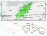
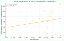
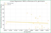
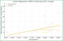
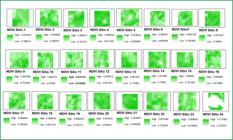
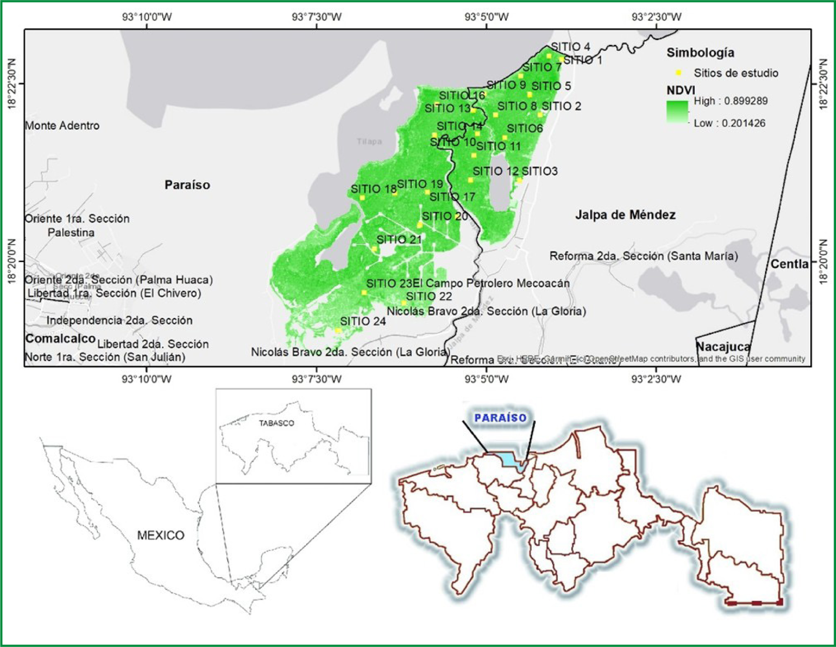
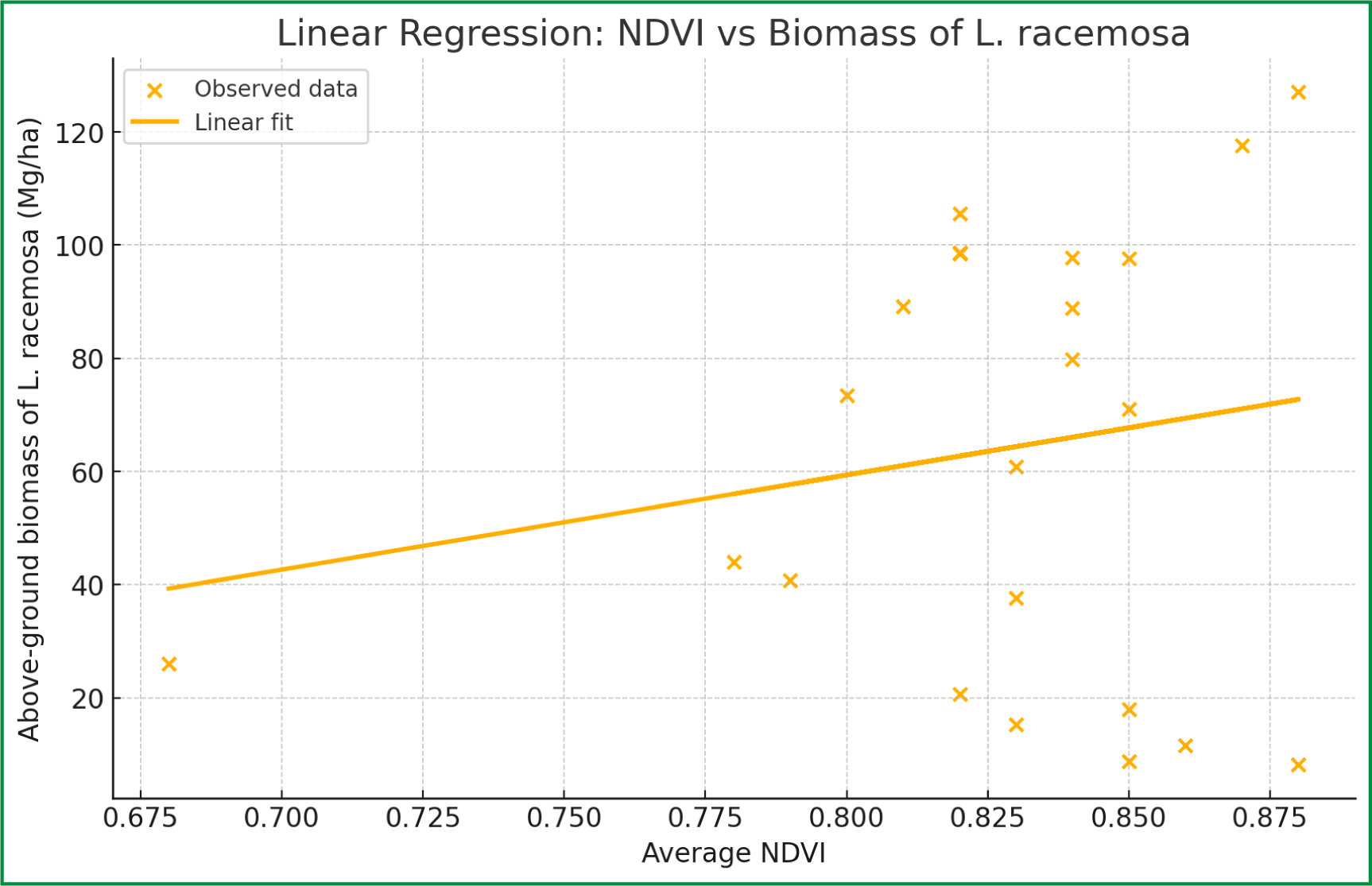
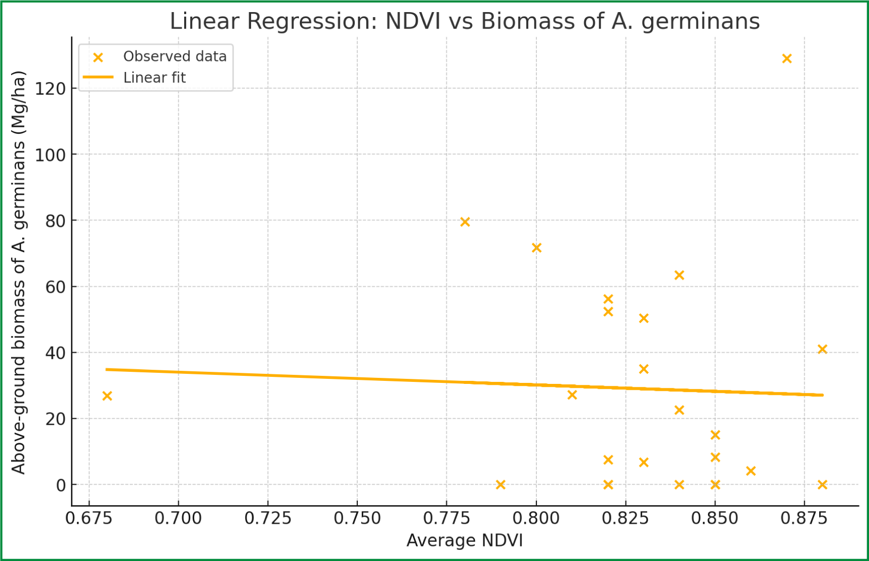
Mangroves are tropical and subtropical coastal ecosystems that play a crucial role in protection against erosion and sea level rise, as well as being important in mitigating climate change by storing large amounts of biomass and carbon. To estimate biomass and carbon storage in mangroves, using field and remote sensing methods. An inventory was carried out at 24 monitoring sites within the UMA, each with 30 x 10 m plots. Dasometric variables such as diameter at breast height and tree height were measured using measuring tapes and altimeters. Biomass was estimated using allometric equations specific to each mangrove species, and carbon content was calculated using a biomass-to-carbon conversion factor of 0.48. The vegetation index NDVI, obtained from images from the Sentinel 2A satellite, was used to assess vegetation health at the different sites. At site 3, L. racemosa had the highest average aboveground biomass (127.08 Mg ha-1), while site 18 had the lowest (8.18 Mg ha-1). For A. germinans, site 7 had the highest biomass (129.03 Mg ha-1), and site 5 the lowest (4.23 Mg ha-1). For R. mangle, site 21 had an average aboveground biomass of 53.88 Mg ha-1. NDVI values ranged from 0.68 to 0.88, being higher in areas of robust growth and lower in areas with less developed vegetation. The study validates a spatial model for estimating biomass and carbon storage in mangroves in the Gulf of Mexico, demonstrating the effectiveness of allometric equations and the use of NDVI as a tool to assess ecosystem health.
Keywords
NDVI; Ecosystem; Sentinel-2A; Remote sensing; Conservation
 Thumbnail
 Thumbnail
 Thumbnail
 Thumbnail
 Thumbnail
 Source: Authors (2024)
 Source: Authors (2024)
 Source: Authors (2024)
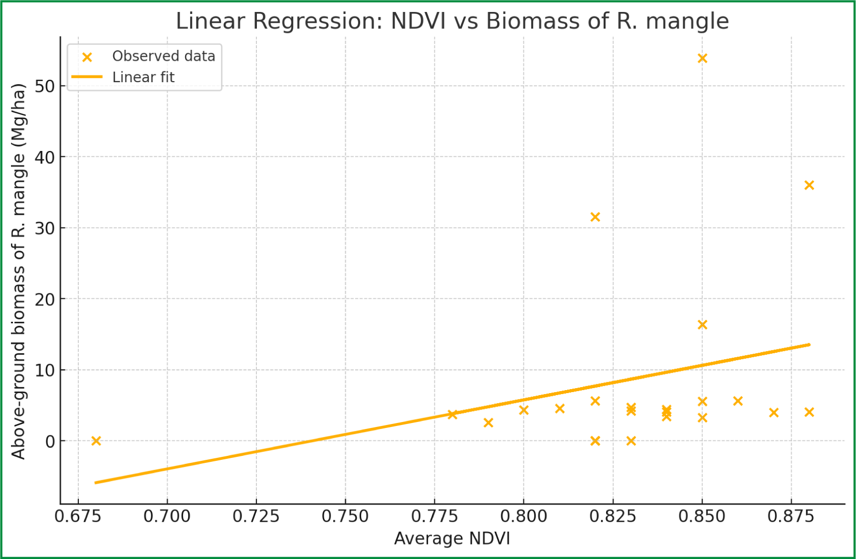 Source: Authors (2024)
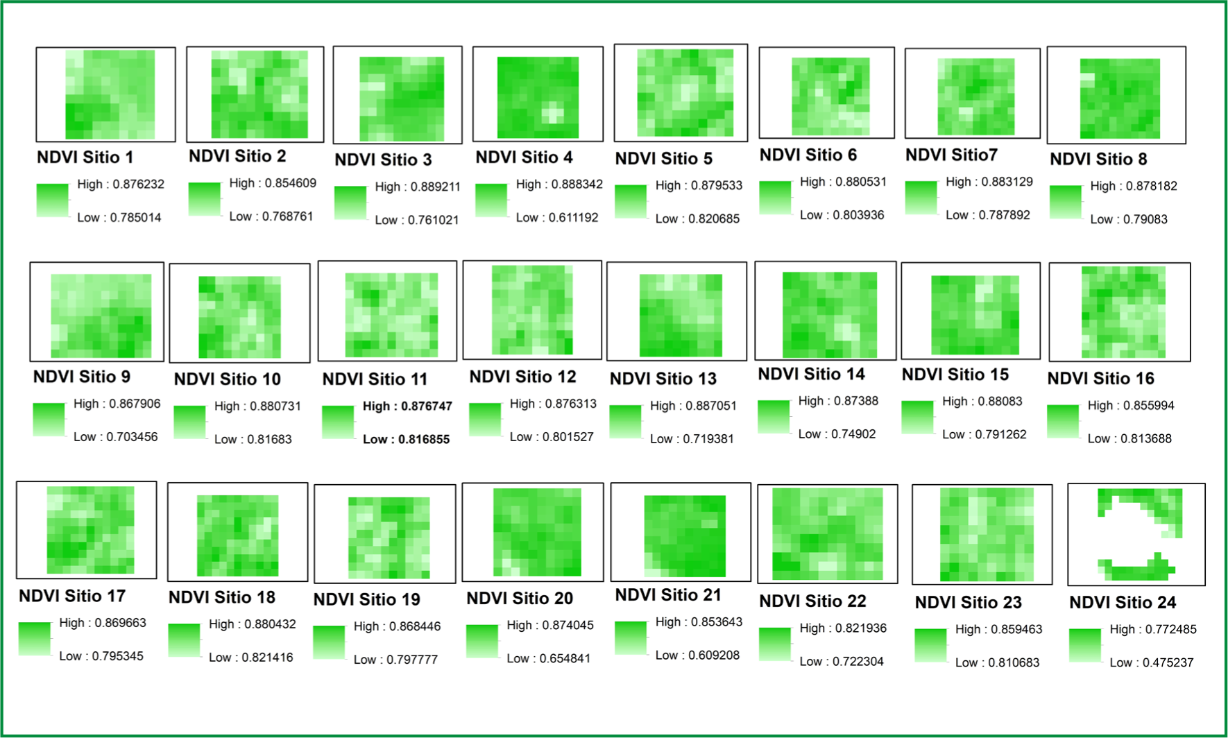 Source: Authors (2024)