CARACTERIZAÇÃO FISIOGRÁFICA DO MUNICÍPIO DE ARAGUARI - MG
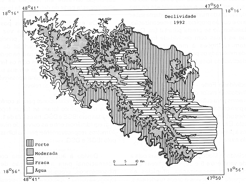
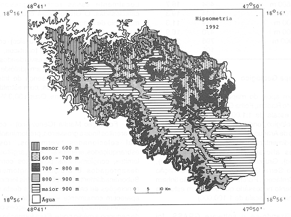
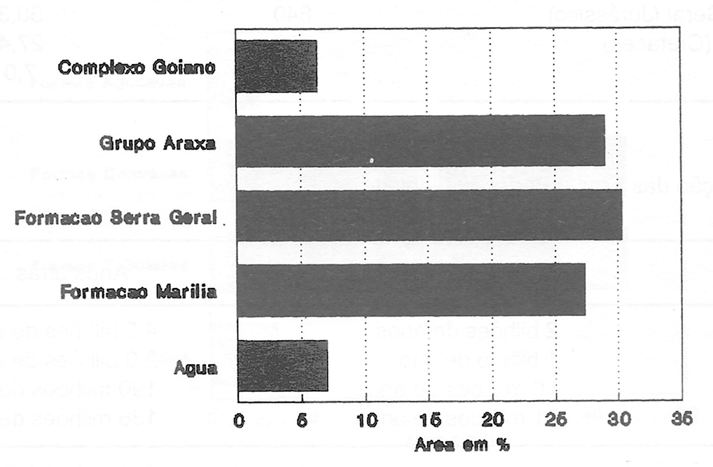
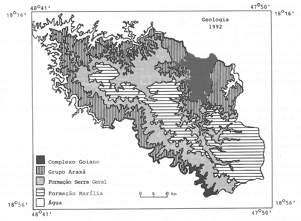
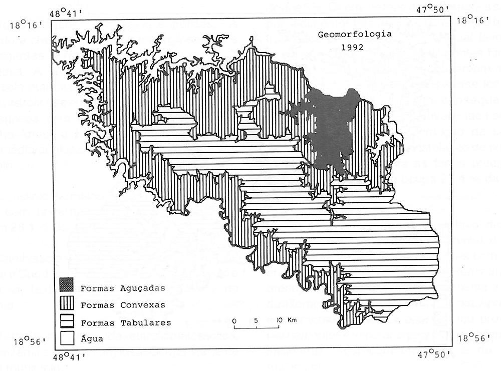
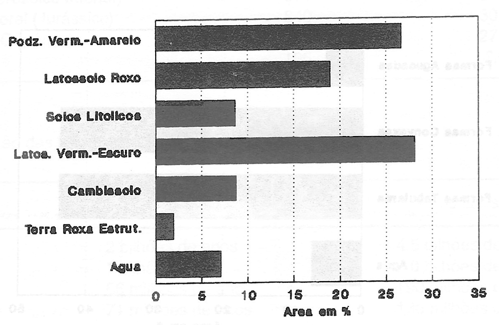
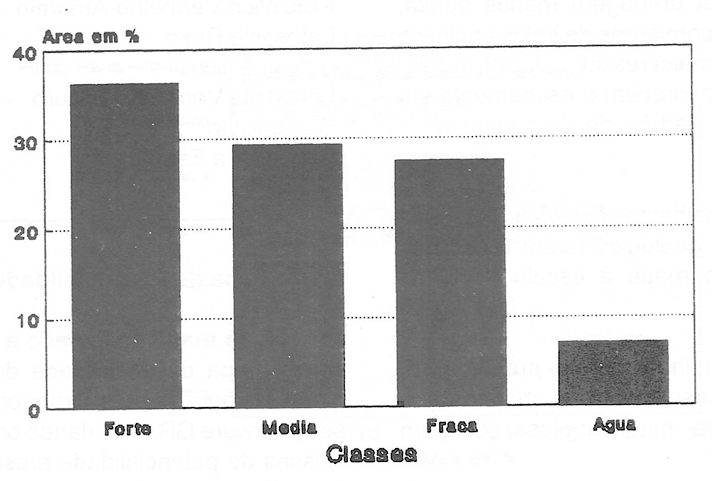
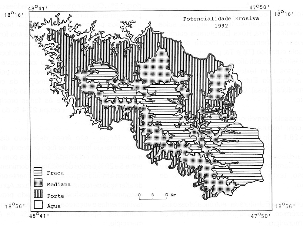
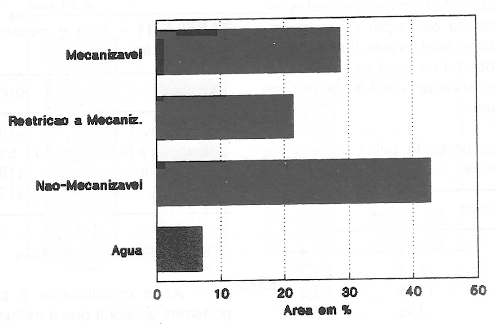
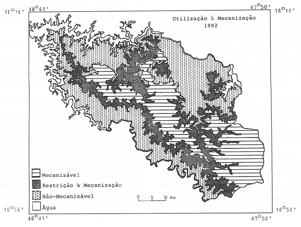
This paper shows a physical characterization of Araguari - MG, using remote sense techniques and thematic maps (1:100.000) as a support to the elaboration of the following maps natural vegetation cover, land use, ground slope, hypsometry, geology, geomorphology, soils, erosive potentiality and level of agricultural mechanization. This methodology offered good results, specially the TM/Landsat images, after their processment (atmospheric corrections, enhancey registry and retification technics).
Key Words:
physiographical characterization; remote sense techniques
 Thumbnail
 Thumbnail
 Thumbnail
 Thumbnail
 Thumbnail
 Thumbnail
 Thumbnail
 Thumbnail
 Thumbnail
 Thumbnail
 Thumbnail
 Thumbnail
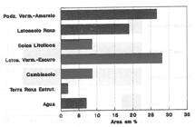 Thumbnail
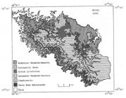 Thumbnail
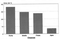 Thumbnail
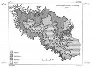 Thumbnail
 Thumbnail
 Thumbnail