 Evaluating reality capture technologies for structural joint verification in prefabricated concrete assemblies
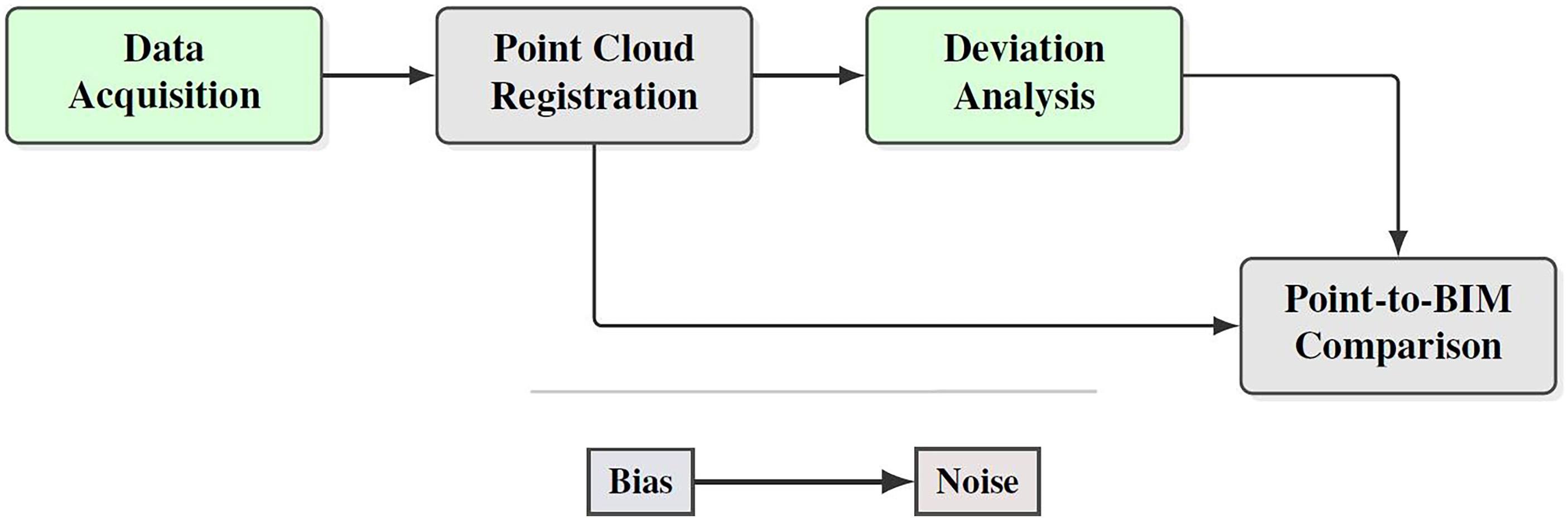
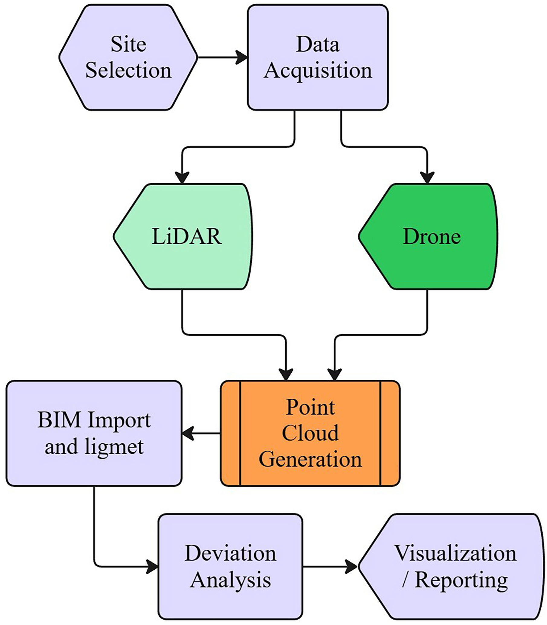
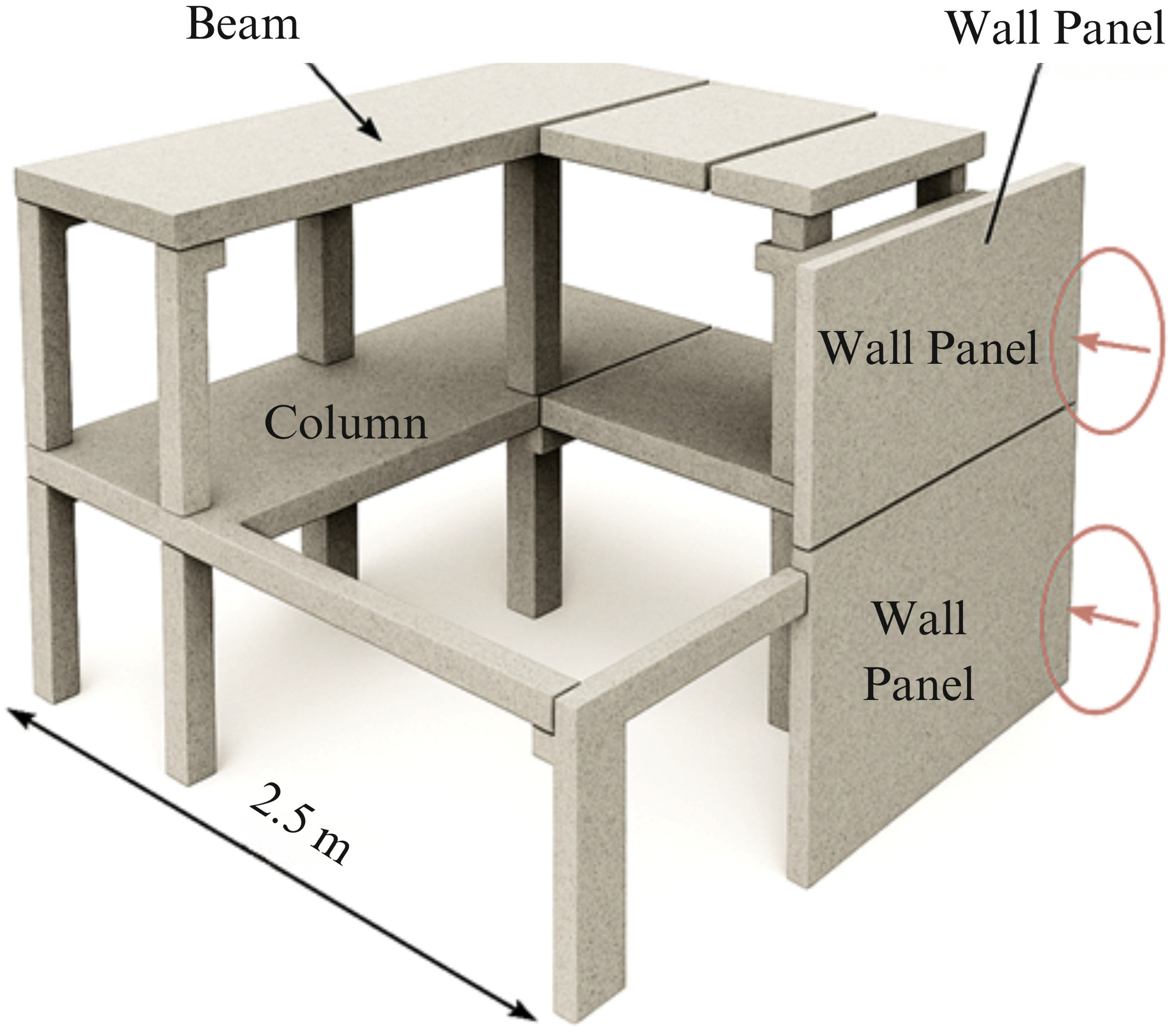
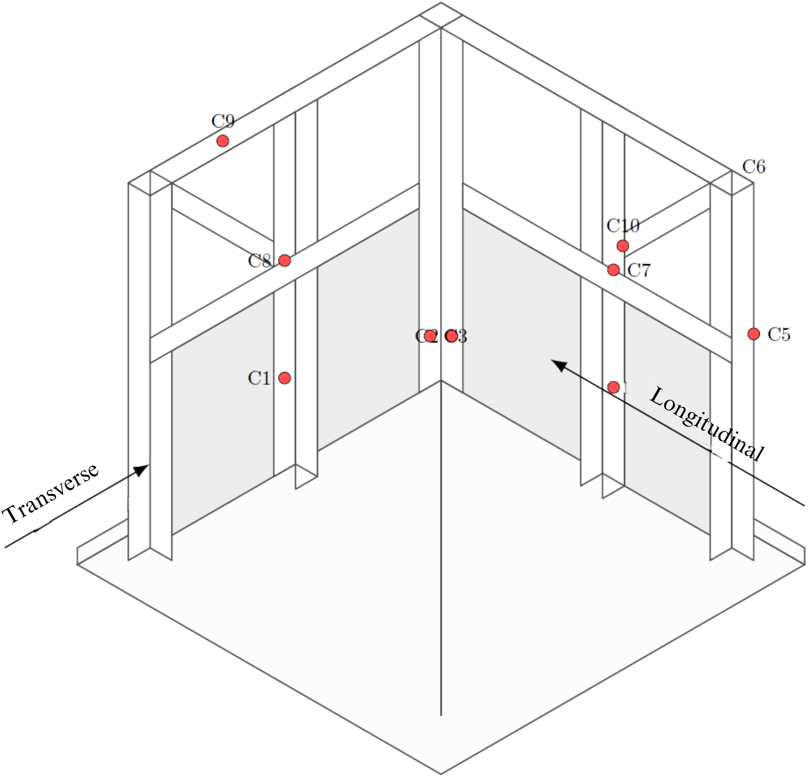
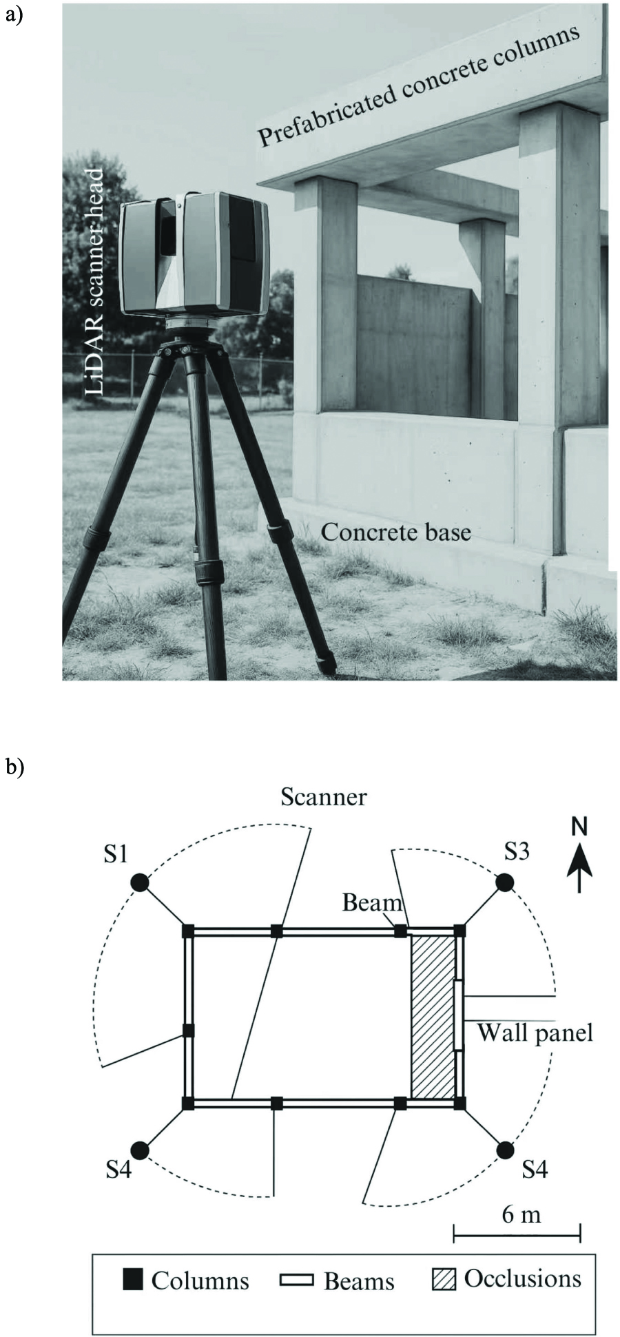
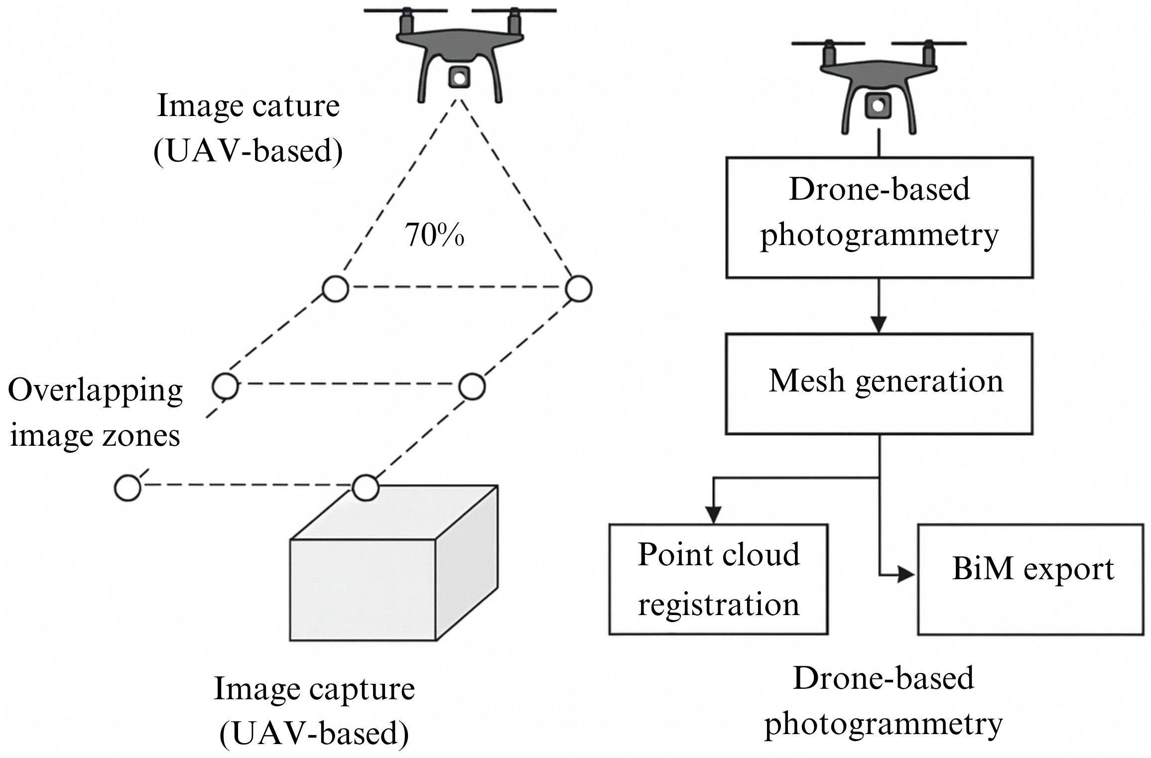
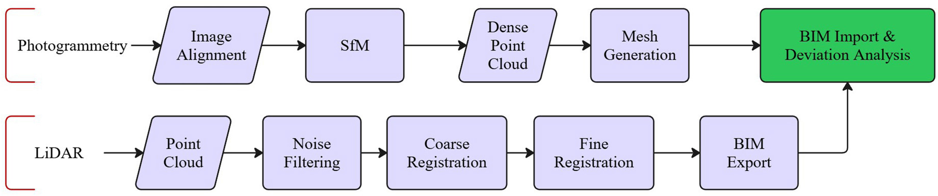
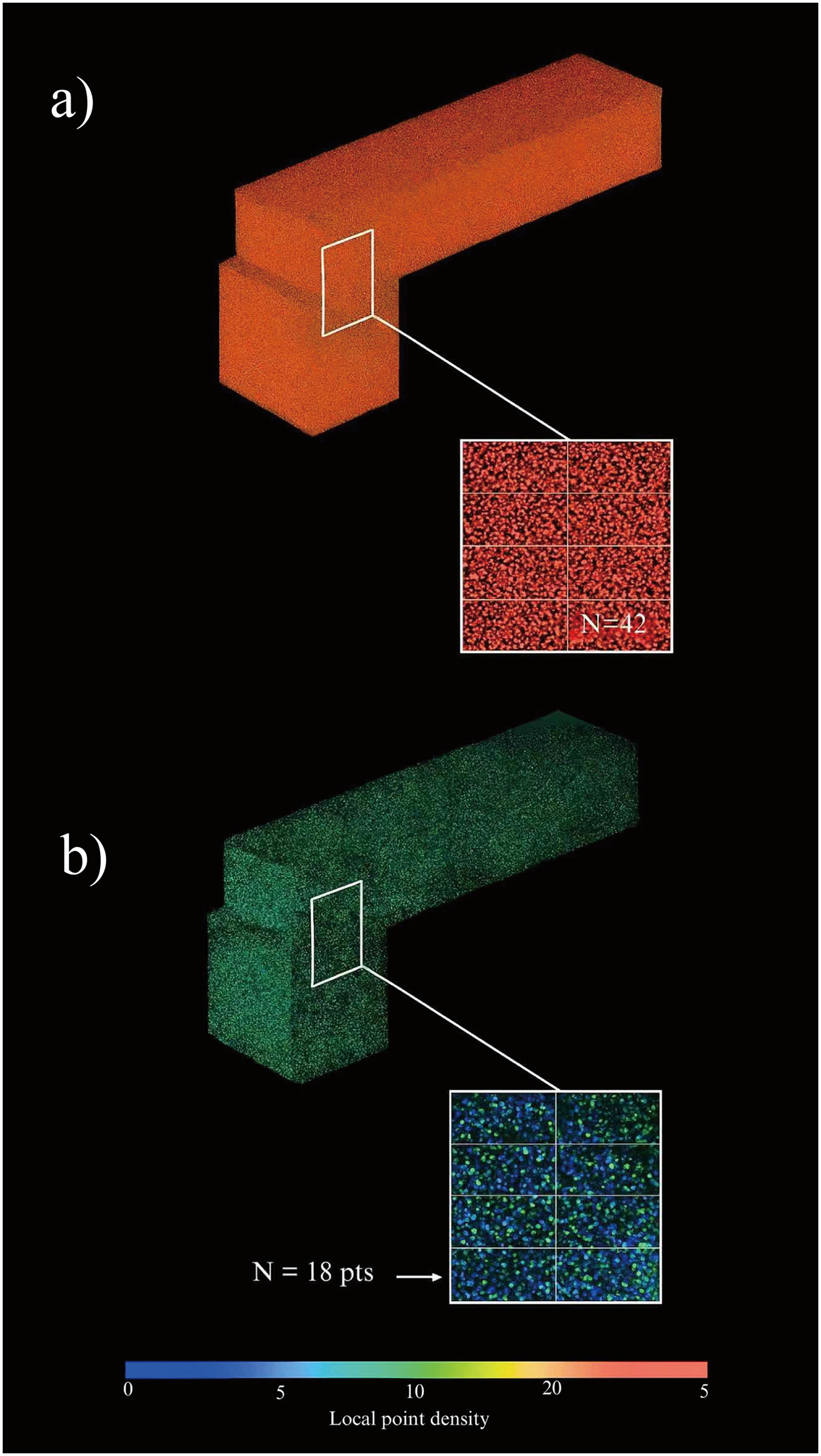
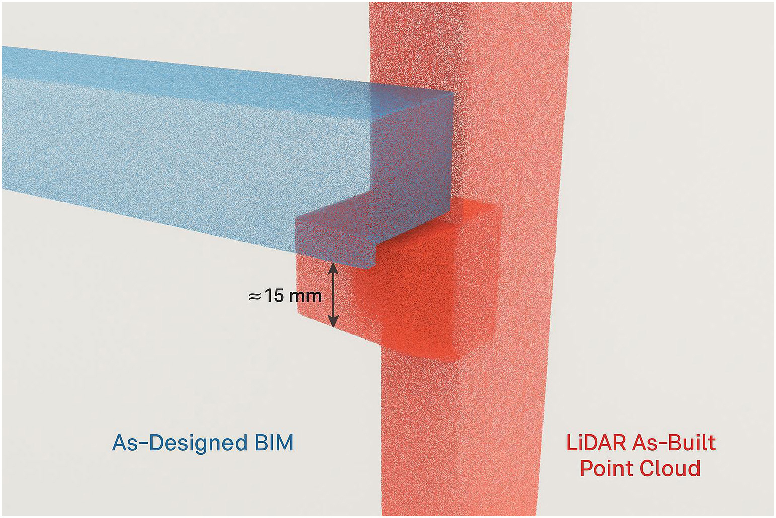
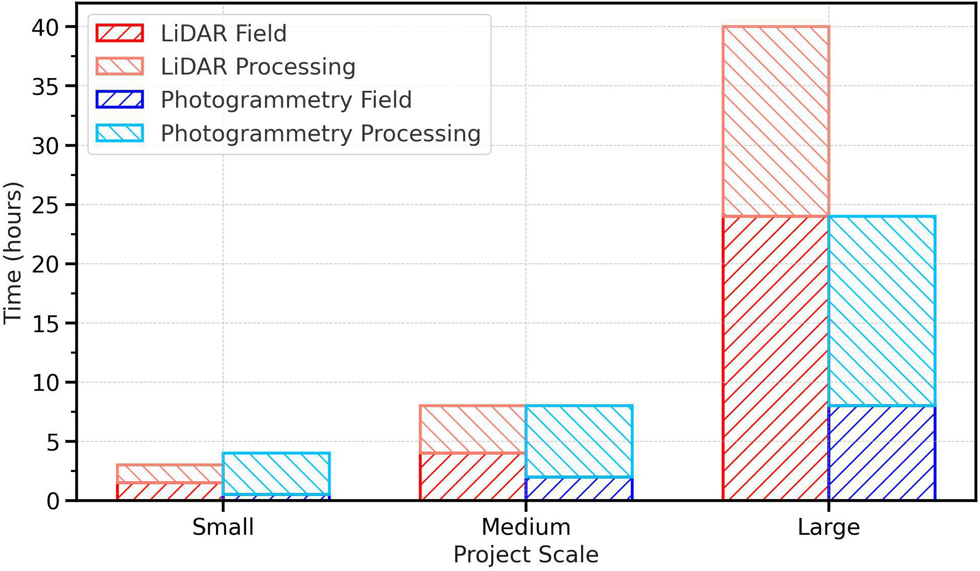
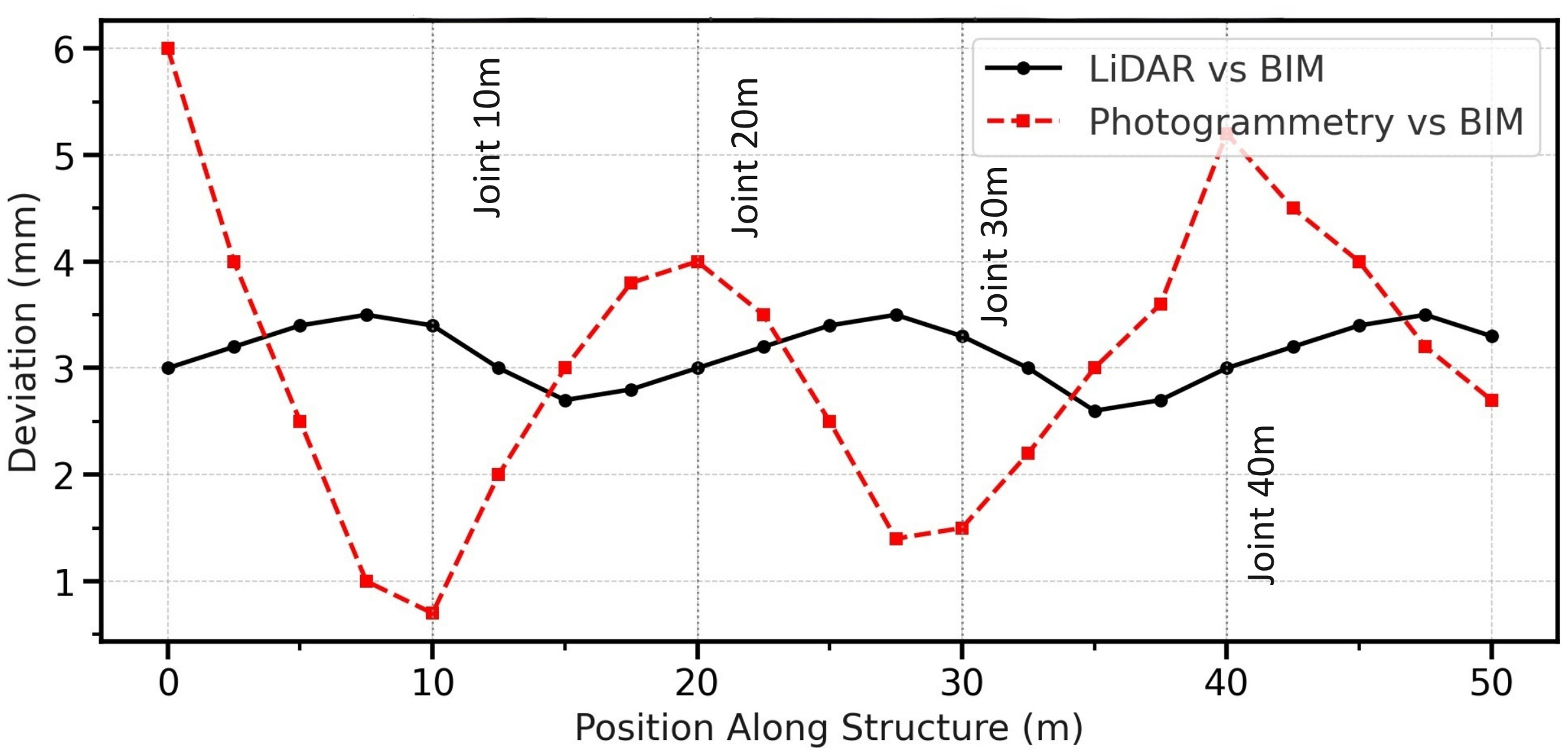
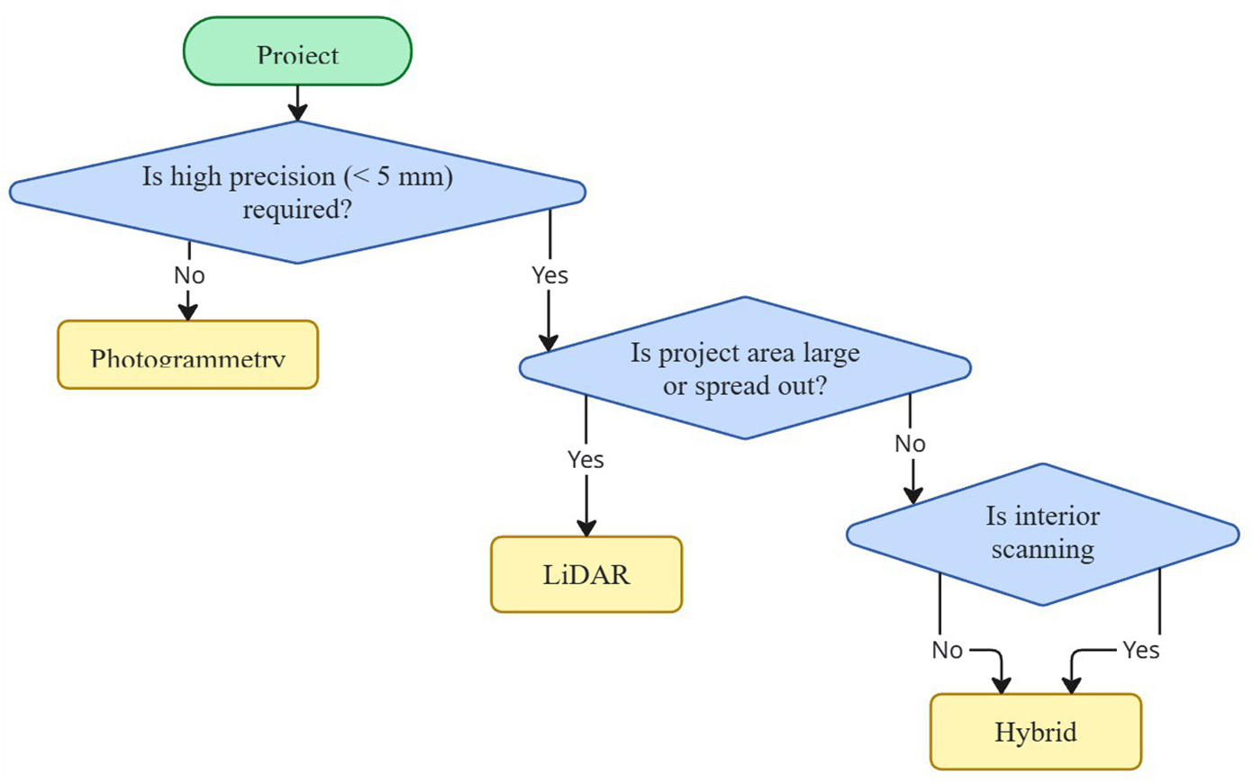
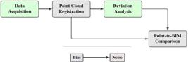
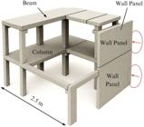
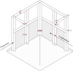
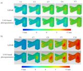
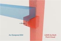
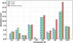
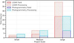
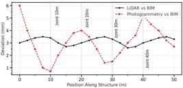
Prefabricated concrete construction demands precise dimensional accuracy at structural joints for safety and performance; therefore, reliable as-built verification is required for construction quality assurance. A joint-level BIM-aligned ground-truth-validated framework was developed to quantitatively compare terrestrial LiDAR and UAV-based photogrammetry for structural joint verification in prefabricated concrete assemblies. A full-scale prefabricated concrete mock-up was surveyed using both sensing modalities, and point clouds were registered to a BIM reference model. Deviation heatmaps, node-level errors, local point density metrics, longitudinal deviation profiles, and acquisition-plus-processing time requirements were derived. LiDAR was shown to provide highly accurate mapping, with over 85% of surface points within ±1 mm of BIM geometry and joint mean deviations of 1.8–3.2 mm, whereas photogrammetry exhibited joint mean deviations of 2.5–6.7 mm, with some local peaks up to +5 mm. Using independently validated accuracy bounds and effort trade-offs that support method selection for prefabricated construction projects, this framework was shown to advance QA/QC practice by enabling tolerance-focused scan-to-BIM verification in connection-critical regions.
Keywords:
LiDAR; scan-to-BIM; BIM accuracy; deviation analysis
 Thumbnail
 Thumbnail
 Thumbnail
 Thumbnail
 Thumbnail
 Thumbnail
 Thumbnail
 Thumbnail
 Thumbnail
 Thumbnail
 Thumbnail
 Thumbnail
 Thumbnail
 Thumbnail
 Thumbnail