 Reference flow modeling for MATOPIBA region: A hydrological regionalization approach1
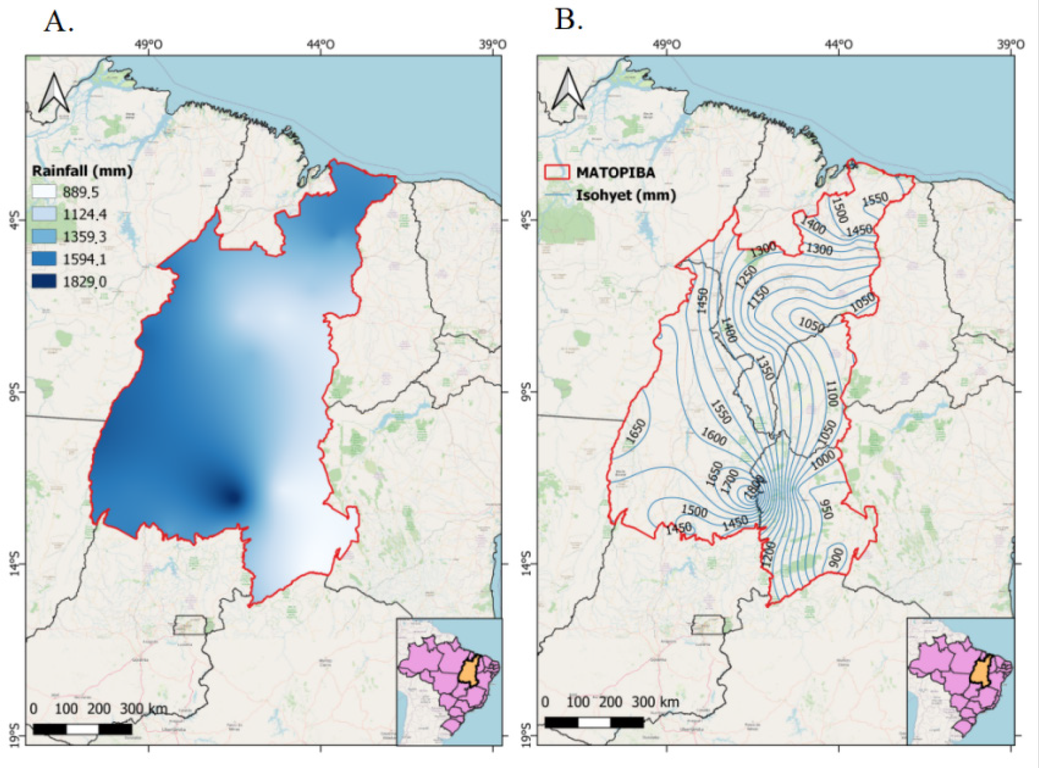
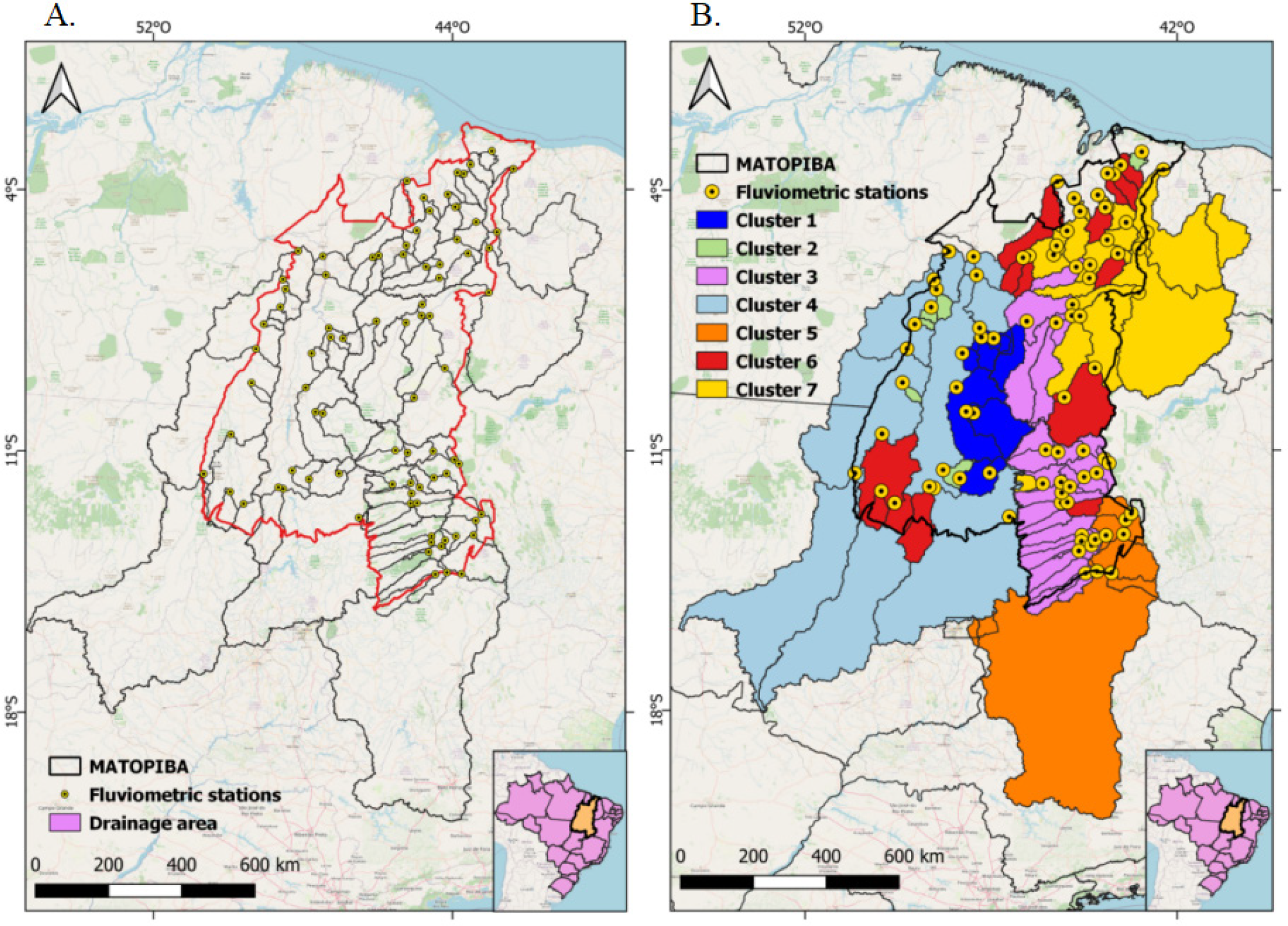
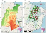
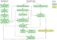
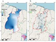
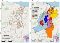
The MATOPIBA region, covering parts of Maranhão, Tocantins, Piauí and Bahia states, Brazil, is a new agricultural frontier. Estimating streamflow is challeging due to inconsistent historical data and focus on large rivers. Hydrological regionalization, which transfers informations between similar basins, offers a solution. This study developed reference flow models using data from 83 streamflow gauging stations to calculate flows (Qmespr, Q90espr, Q95espr, Q7.10espr), converted to specific flows (L s-1 km-2). Annual rainfall per basin was interpolated via ordinary kriging, ranging from 889.5 mm per year in Bahia and Piauí to 1,829 mm per year in Tocantins and Maranhão. Cluster analysis using morphometric variables (drainage density, main river length, slope, compactness coefficient, centroid coordinates) and rainfall identified seven homogeneous regions. Multiple linear regression models were fitted per region, with best models selected via Akaike Information Criterion (AIC) and statistical tests. A total of 28 equations (four per region) were generated, with drainage density present in all. The performance of the models, evaluated via Willmott’s index (d > 0.85), Nash-Sutcliffe efficiency (NSE > 0.70), PBIAS (< 15%), and R2 (> 0.70), was classified mostly as «very good» or «good,». Lower accuracy occured in clusters 3, 6, and 7 due to rainfall variability, basin dispersion, and river length ranges. These models support estimation of reference streamflows in ungauged basins, aiding water resources management, irrigation planning, drought mitigation, and sustainable agriculture. Future improvements could include seasonal rainfall analysis, more gauging stations, and remote sensing variables. The regionalization approach may be extended to other Brazilian biomes.
Key words:
hydrology; kriging; GIS; geostatistics; multiple-regression
Seven hydrologically homogeneous regions were identified in the MATOPIBA region.
Four reference flow models were developed for each homogeneous region.
The models showed strong predictive performance, supporting informed water resources management decisions.
 Thumbnail
 Thumbnail
 Thumbnail
 Thumbnail