National overview of infrastructure for active commuting: a territorial analysis of Brazil’s 5,570 municipalities
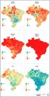
Objective: This study presents a territorial analysis of urban infrastructure aimed at active commut-ing -sidewalks, sidewalk obstacles, wheelchair ramps, lighting, trees, and bike-signaled roads -across Brazil’s 5,570 municipalities, based on data from the 2022 Urban Survey of Household Surroundings conducted by the Brazilian Institute of Geography and Statistics.
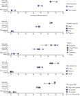
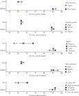
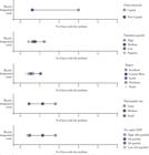
Methods: Descriptive statistical analyses of these elements were performed for all municipalities, further stratified by municipality size, region of Brazil, population growth, per capita Gross Domestic Product (GDP), and urban hierarchy, as well as specifically for each of the 27 Brazilian capitals.
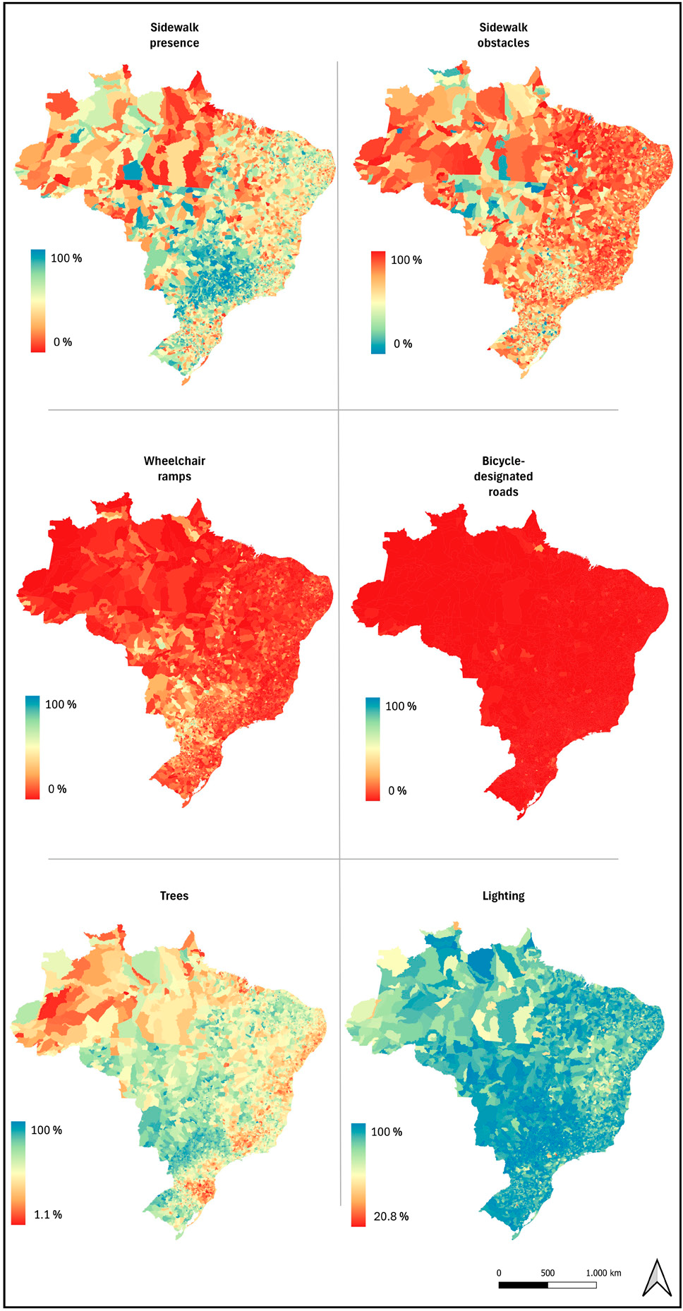
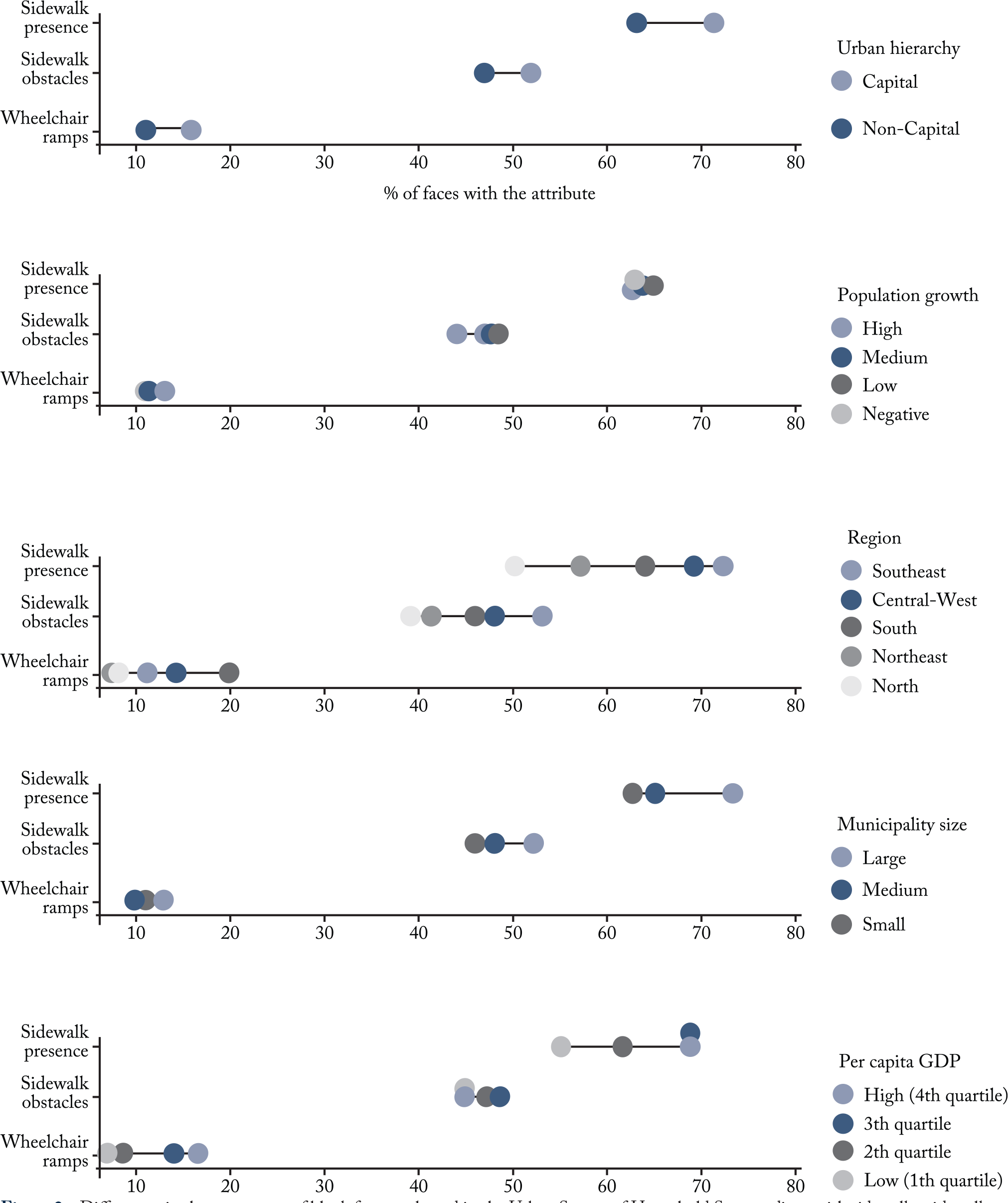
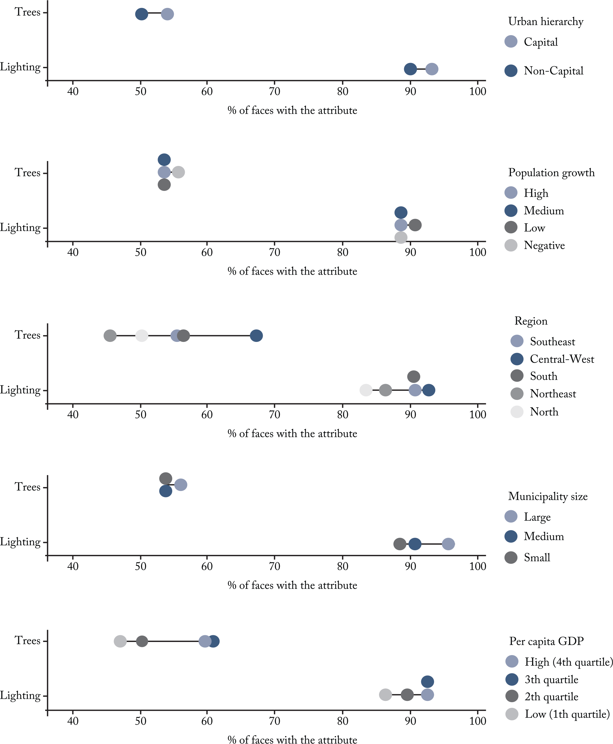
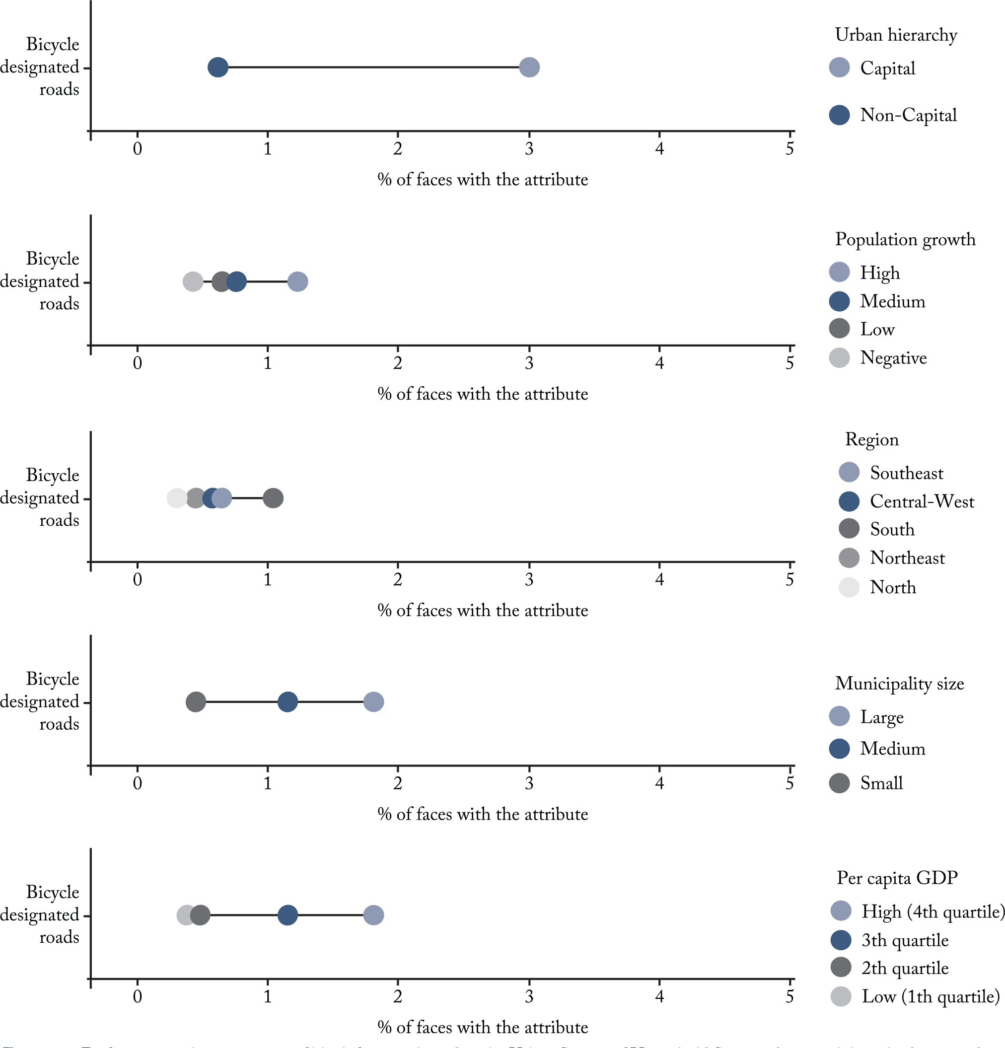
Results: The results reveal signif-icant territorial disparities. Cities with larger populations, capital status, and higher per capita GDP displayed better indicators such as the presence of wheelchair ramps, tree coverage, and sidewalks. Bike-signaled roads were consistently low across most Brazilian municipalities, while street lighting showed consistently high coverage nationwide.
Conclusion: These findings also support the planning of cities that are more equitable, resilient, and sustainable. These results, disaggregated for all 5,570 municipalities and aggregated for comparison groups, provide valuable input for the development and revision of master plans, urban mobility strategies, and initiatives focused on territorial equity, aligning with the targets of Sustainable Development Goal 11 and the principles of the Brazilian City Statute.
Keywords:
Infrastructure; Walking; Cycling; Census; City planning.
 Thumbnail
 Thumbnail
 Thumbnail
 Thumbnail