 Remote sensing assessment of drought effects on maize yields in Jequitinhonha Valley
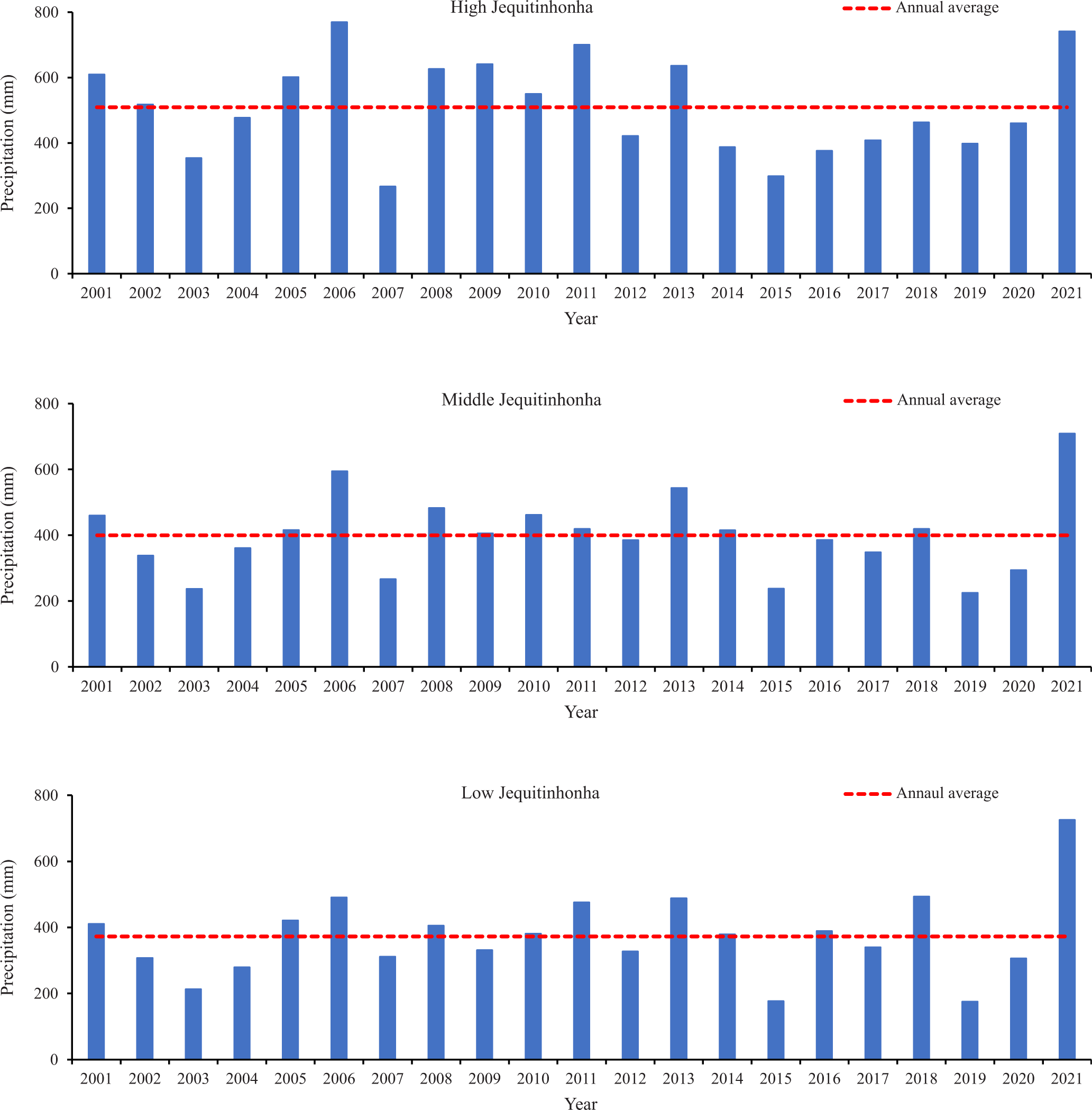
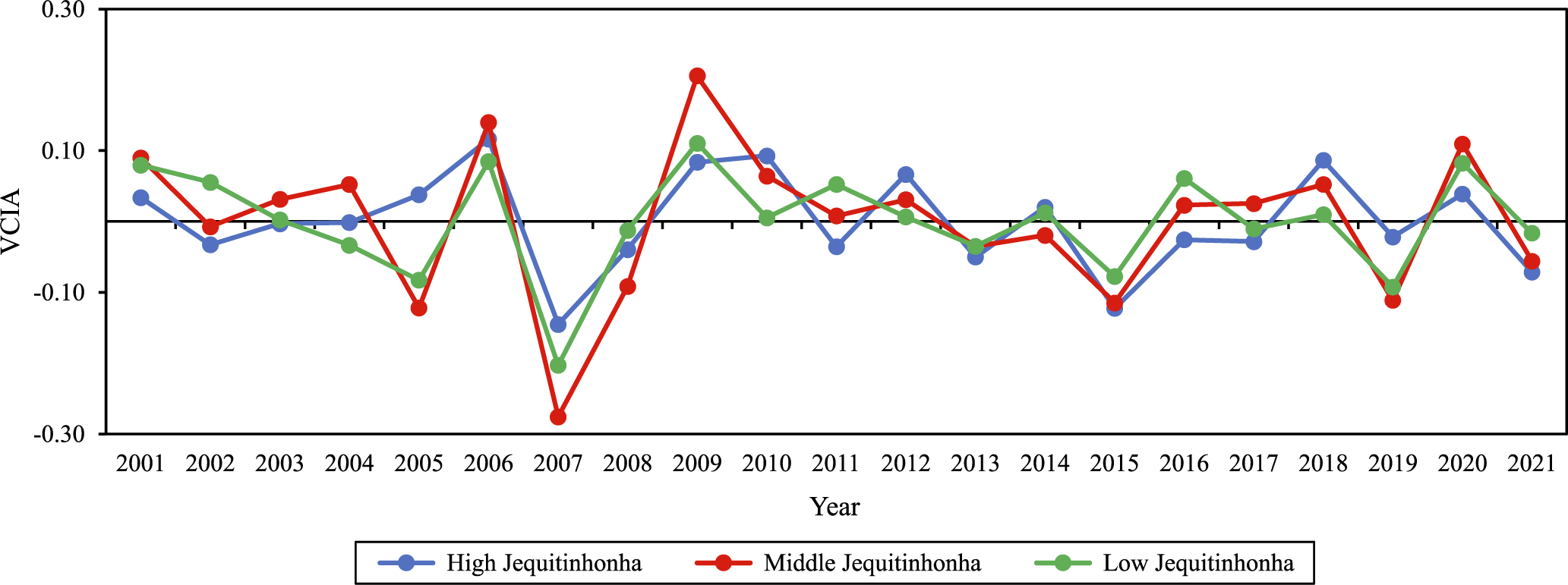
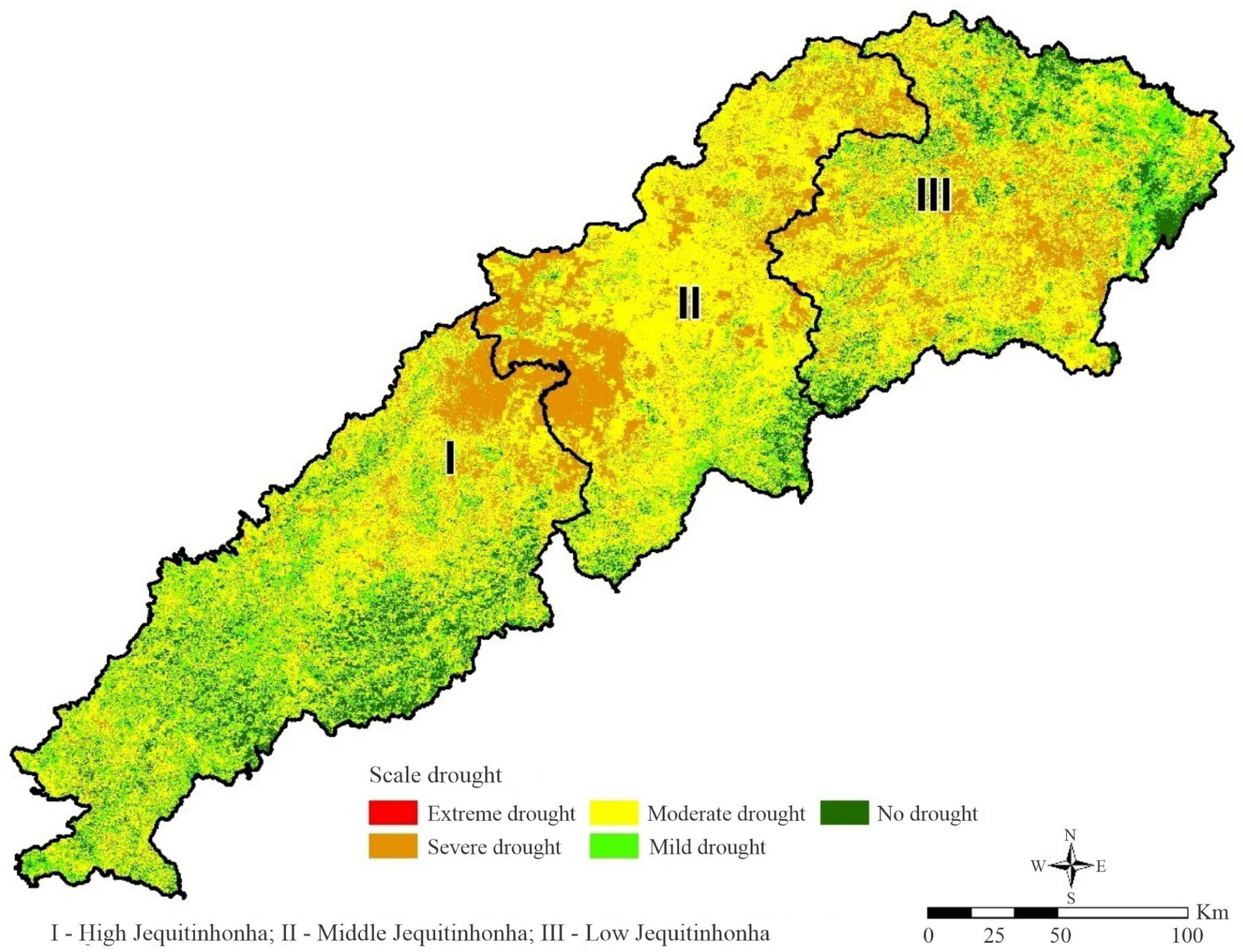
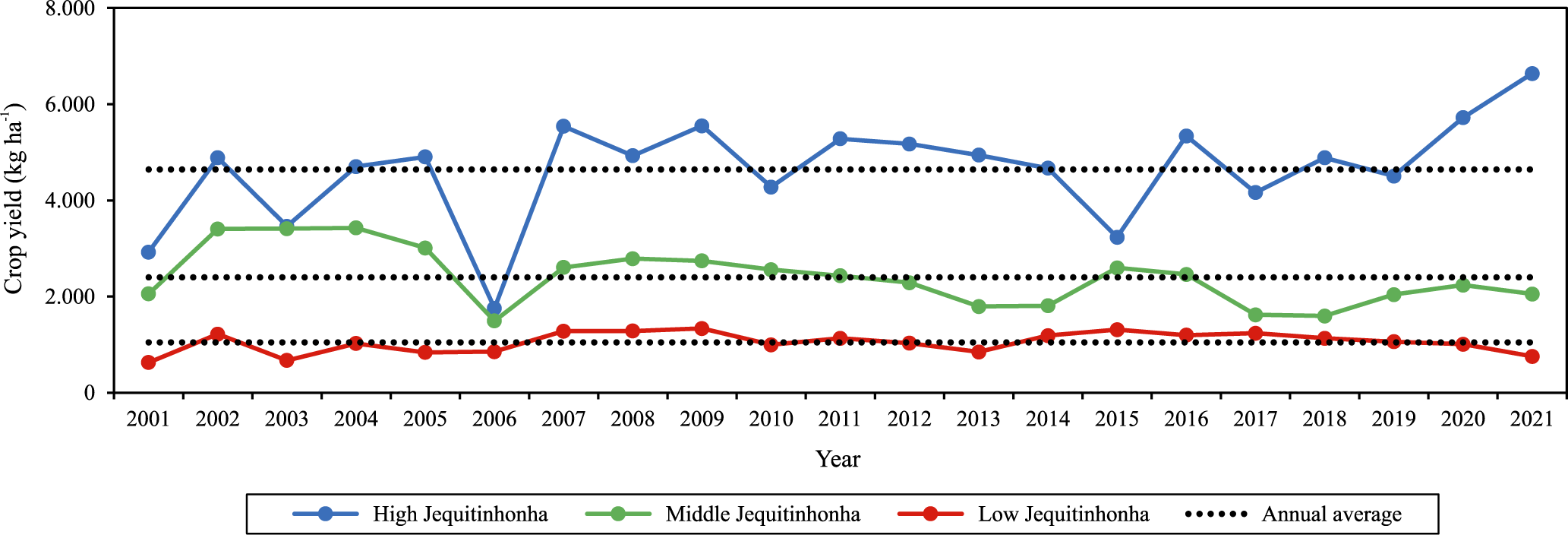
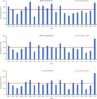
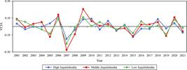
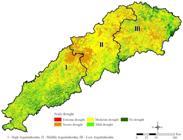
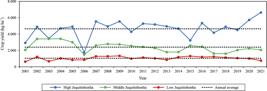
The objective of this work was to analyze agricultural drought using both precipitation data and the Vegetation Condition Index (VCI) based on remote sensing, to evaluate the effect of these conditions on maize yields in the semiarid region of Jequitinhonha Valley, Brazil, from 2001 to 2021. Pearson’s correlation assessed the relationships between precipitation, VCI anomalies, and corn yields. Remote sensing methods can be used to assess agricultural drought at the sub-regional scale in the Jequitinhonha Valley. The methods proposed by the present study allow for the identification of risk areas susceptible to agricultural drought. For future research, it is recommended that yield data be categorized in terms of water source, distinguishing between irrigated and rainfed crops.
Index terms:
agricultural drought; precipitation; spatial analysis; water scarcity
 Thumbnail
 Thumbnail
 Thumbnail
 Thumbnail