The participatory social cartography unveiling fishing territorialities in Maxaranguape (Rio Grande do Norte, Brazil)
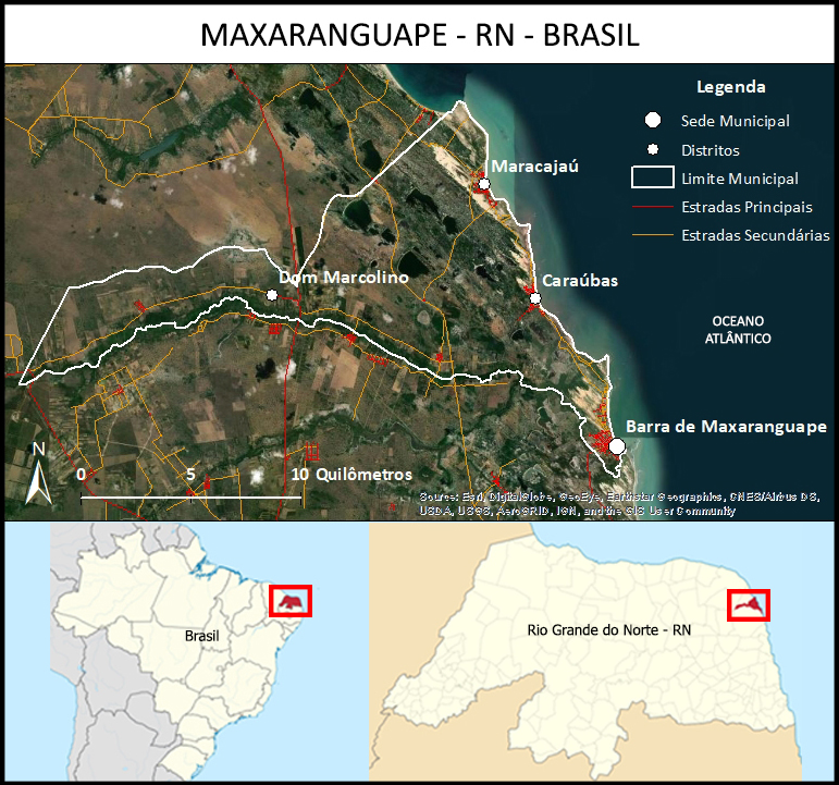
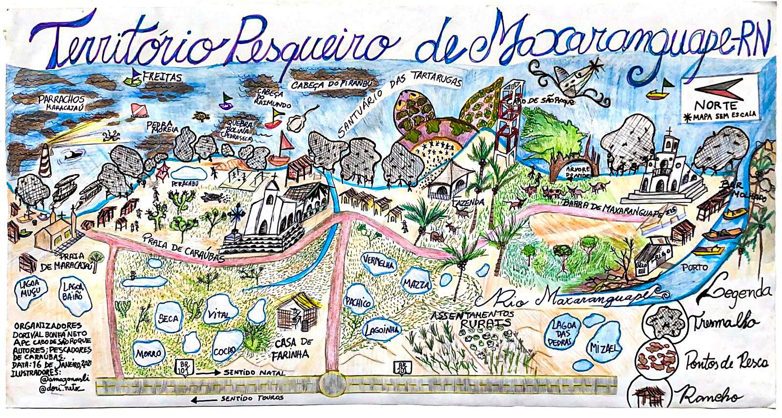
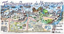
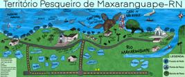
Starting from the theme of artisanal fishing, in the context of the lack of legislation that guarantees the demarcation and conservation of fishing territory in Brazil, which is constantly threatened by territorial and socio-environmental conflicts, this work aimed to identify traditional fishing territorialities in the municipality of Maxaranguape, state of Rio Grande do Norte (RN), Brazil. Justifying it due to the lack of legal instruments that ensure this territory, a fact that also makes the fishermen invisible, blurring their identity, there is a need to produce testimonies about this territorial occupation built through territorialities that are related to the identity and traditional way of life of the fisherman. Regarding the research methodology, we used fieldwork, participant observation, interviews with semi-structured scripts, and participatory social cartography, to elaborate the maps of the Fishing Territory of Maxaranguape. It is concluded that participatory social cartography can be a powerful tool for the understanding and protection of traditional territory, especially in relation to traditional practices such as artisanal fishing. This approach can help strengthen the identity of the individuals and reveal the social and cultural consciousness associated with traditional territories and practices.
Keywords:
Participatory social cartography; Raftsmen; Participatory social maps; Artisanal fishing; Fishing territories
 Thumbnail
 Thumbnail
 Thumbnail
 Thumbnail