 UAVs monitoring of open-pit mining site rehabilitation in mountainous forest areas: the case of the Turkey-Western Black Sea Region
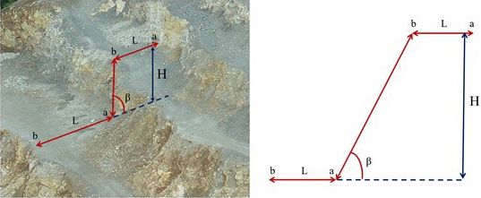
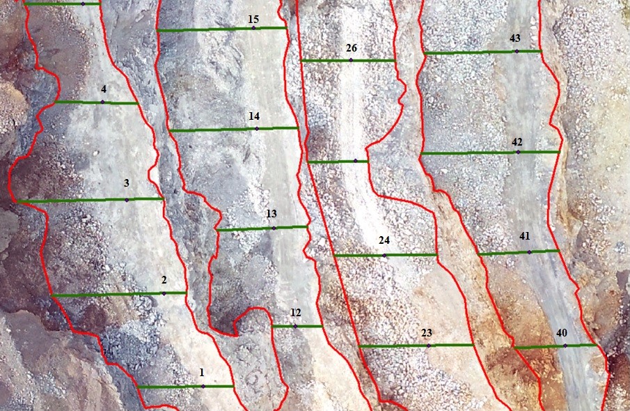
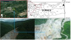
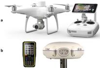
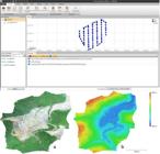
Background: Mining has a long history and significantly impacts national economies, but it also causes considerable environmental damage. Forest areas are particularly affected, and sustainable management practices are essential for natural resource utilization. Effective rehabilitation of open-pit mining sites is crucial before, during, and after mining operations This study focuses on the rehabilitation process of an open-pit mining site located at the boundary of mountainous forest areas. Landform (slope geometries) measurements and boundary checks were conducted using the UAV-based PPK method. UAV flights were conducted at two different times over a period of approximately seven months. Orthophoto images and DEMs from both flights were used to measure slope width, height, and angle, and to monitor boundary violations during the rehabilitation process. The calculation of slope geometry values was performed using ArcGIS software.
Results: Results indicate that the quarry area expanded by 1,044 m², its perimeter increased by 25 meters, and the slope grade changed over the seven months. According to the results of the first and second flights, the average slope width, height, and angle were 7.39 m, 12.45 m, and 83.46°, respectively, in the first flight, and 16.09 m, 13.33 m, and 40.48°, respectively, in the second flight. Additionally, no boundary violations of the quarry were detected.
Conclusions: The UAV-based PPK method effectively prevented data loss in rugged and difficult-to-access quarry areas. This study demonstrates that public administration can use UAV systems to monitor and control rehabilitation works during and after mining activities.
Keywords:
Rehabilitation; PPK Mode; Slope Geometry; Field Survey; Türkiye
The geometry of the quarry in the rehabilitation process was easily measured with UAV. In 7 months, the quarry area has expanded by 1044 m² and its perimeter by 25 m. The results were not consistent with the required rehabilitation values. By using the UAV-based PPK method, data losses in difficult areas were prevented.
 Thumbnail
 Thumbnail
 Thumbnail
 Thumbnail
 Thumbnail
 Thumbnail
 Thumbnail
 Thumbnail
 Thumbnail